Who this is for
Estate managers, owners, trustees, and family offices stewarding land across multiple holdings, often with tenant farmers, diversified income, and planning horizons measured in generations. You need a single layered map across the whole estate, ecosystem-services revenue scenarios that survive scrutiny, and long-arc evidence that satisfies management-agreement obligations.
What it does for you
- Mapping — One layered map across the whole estate, regardless of tenant or use.
- Flooding and wetlands — Catchment-scale flood modelling, NFM at landscape scale.
- Species and habitats — Habitat baselines and connectivity for ecosystem-services framing.
- Revenue modelling — Compare scenarios across the estate's full portfolio.
- Satellite data — Whole-estate change monitoring at a glance, over decades.
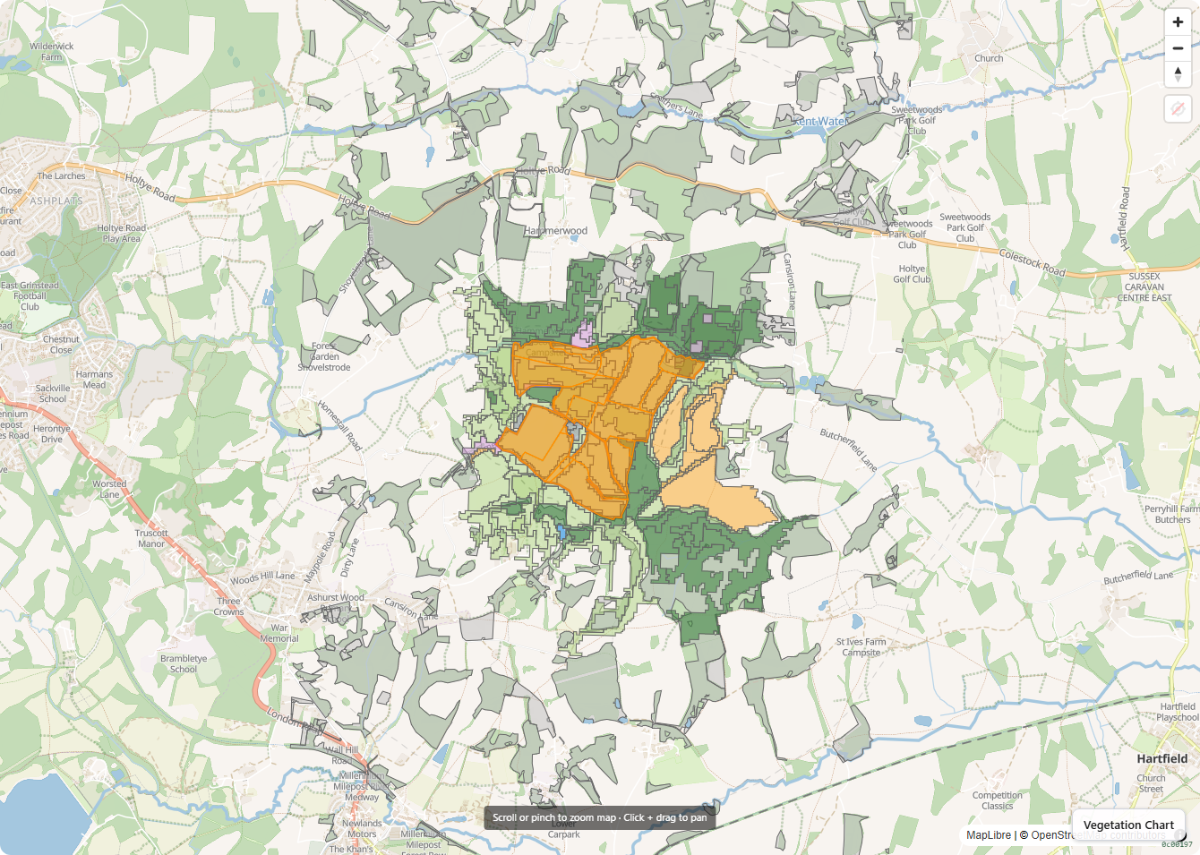
Example
A multi-holding estate stewarding 2,800 acres across south-east England uses Ecology App to model three restoration scenarios across the full estate — baseline, mixed land-use, full restoration — and to maintain whole-estate change monitoring against satellite EO time-series. The platform-generated cashflow comparison sits alongside the trustees' usual financial reporting.