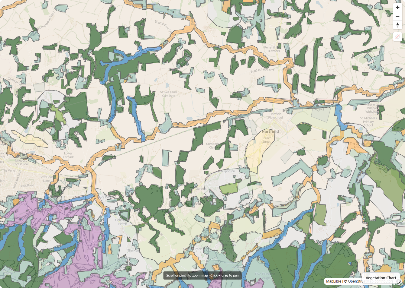
What it does
- UKHab habitat classification with editable polygons
- Priority Habitat Inventory and Natural England designations
- Species occurrence data from open sources (NBN Atlas and others)
- Catchment-scale habitat connectivity analysis: corridor identification, gap classification, prioritised intervention outputs
- Survey-ready maps for the ecologist you bring in later
- BNG Metric scoring on baseline and post-intervention, where the buyer needs it
Why it matters
Ongoing stewardship at landscape scale — where habitats connect or fail to connect — is the harder and more valuable question behind every BNG agreement, every Countryside Stewardship plan, and every nature-restoration bid. Ecology App makes catchment-scale connectivity a primary output alongside the parcel-level habitat baseline, so the bid you write, the agreement you sign, and the monitoring you commit to all read off the same map.
Example
An independent ecology consultant uses Ecology App to baseline a 90-hectare client estate in an afternoon: UKHab polygons over the OS basemap, Priority Habitat Inventory overlay, NBN species occurrence layer, draft connectivity assessment using the consultant's own methodology. The consultant's deep work — site visits, species design, agreement drafting — starts from that baseline, instead of from a desk-research warm-up.