Who this is for
Working farmers and family land managers making real decisions about real fields. You want to understand what you've got, what it could become, and what it might pay for — without a six-figure budget for software or specialists.
What it does for you
- Mapping — See your boundaries, contours, and tree cover clearly enough to plan properly.
- Flooding and wetlands — Find where water already pools, and model what a leaky dam, scrape, or wetland would actually do.
- Revenue modelling — Compare BNG, carbon, SFI, and Countryside Stewardship scenarios for your actual holding.
- Satellite data — See vegetation change over the last decade in one chart.
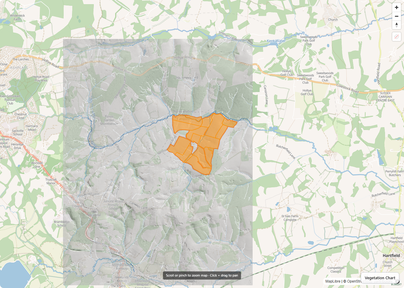
Example
A Sussex farm transitioning from grazed pasture to wood pasture uses Ecology App to identify a lost historical water-meadow line under rough pasture (visible in LiDAR hillshade), model the wetland restoration that line implies, and quantify the BNG and carbon revenue potential — before commissioning detailed consultancy work.